How Directional Drilling Works in Winston-Salem Ground
Soft country, hard walls
The region's baseline is a gift: crystalline rock weathered into deep, red, cooperative saprolite across most of the metro, with fresh rock far enough down that shallow utility work rarely greets it. The doctrine exists for the exception: diabase dikes — vertical sheets of dense igneous rock, feet thick and miles long, standing unweathered in the soft ground — cross the region on the geologic maps and off them. A wall-checked quote reads the mapped dikes at scope, writes encounter terms for the unmapped ones, and stages tooling either way; north of the city, the Sauratowns' quartzite adds honest surface rock to the story, and the Yadkin's valley trades it all for alluvium. Baseline generous, exceptions named — that's Twin City quoting.
Three economies, one utility map
The city's eras stack underground: the tobacco empire's grid still serves the loft blocks its warehouses became, the furniture belt's rail-served plants keep Davidson's industrial rhythm, and the innovation economy — labs, institutes, the medical center's mass — layers research-grade demands over both. Old Salem's restored settlement sets the care standard at the heart: craft-grade restoration, archaeology-aware excavation manners, and coordination with keepers who measure work in centuries. The desk prices each era's register as itself, and the heritage blocks get the museum manners they've earned.
The sequence, Twin City edition
The bones are standard — locates plus private designating, potholes on every claimed utility, pilot on profile, ream to about one and a half times the product, pull, restore. Twin City bends: dike checks at scope with terms in daylight, quartzite passes priced north, craft-standard manners on the heritage blocks, intake-reach care on the river, ice-season staging awareness, and restoration that treats loft-district brick, vineyard lanes, and knob-country lots as the different surfaces they are.
Who owns what you're crossing
The cities run their own ROW counters; the state's road system carries nearly everything beyond them, secondary miles included. State stream and buffer machinery rides the Yadkin and its tributaries; the utility guards its intake reaches; the lake operator's licensing governs the pool country downstream; the heritage district keeps its craft standards; railroads permit the furniture belt's serve; and the knob-country parks hold their protected edges. The quote names every owner on your alignment — here, the first questions are where the walls run and which Yadkin you're crossing.
Straight answers
Will you hit rock on my bore?
The honest odds: probably not — the saprolite runs deep and kind across most of the region — but the exceptions are absolute: a dike wall arrives in a single rod, and the knob country north carries true quartzite. The quote reads the maps, states the terms, and stages the tooling, which is how good odds stay good.
How deep do bores run under Winston-Salem streets?
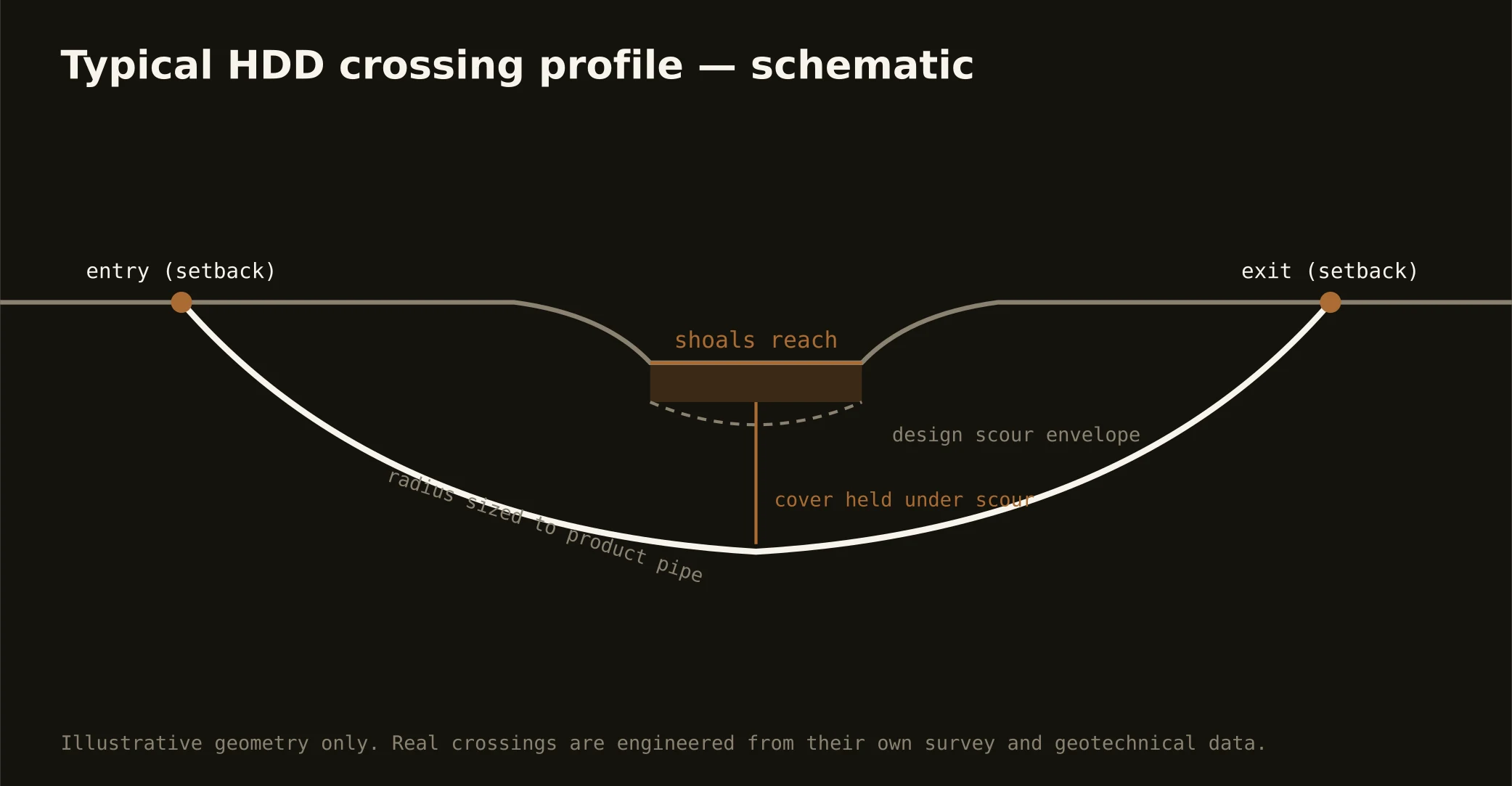
Cover follows the owning authority's standard and sits below everything potholed on the alignment — with river crossings running to their reach's criteria and heritage blocks adding coordination to the plan. The plan states your number and the doctrine's expectation at it.
What makes Old Salem work different?
The standard of care: a restored eighteenth-century settlement treats its ground as an artifact, so utility work nearby runs on preservationist coordination, archaeology-aware excavation manners, and restoration measured against museum practice. HDD's under-not-through argument was made for exactly this — and our quotes carry the craft manners as priced scope, not surprises.
Ready to put a number on a real crossing? Send the scope — a person prices it.